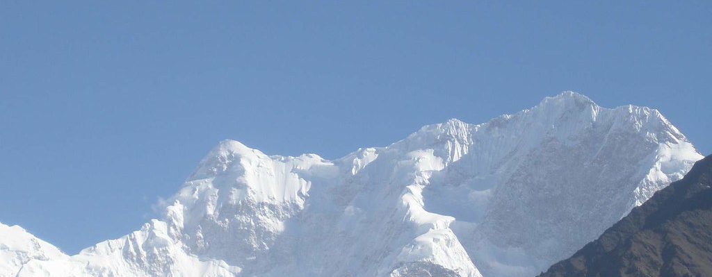
Disteghil Sar or Distaghil Sar (Urdu: دستاغل سر) is the highest mountain in the Shimshal Valley, part of the Karakoram mountain range in Gilgit-Baltistan, Pakistan. It is the 19th-highest mountain on Earth and the 7th-highest in Pakistan. Disteghil sar is a Wakhi language word suggested by the Wakhi people of Shimshal meaning above the inner ranch.” The mountain has a 3-kilometre-long (1.9 mi) top ridge above 7,400 meters elevation, with three distinct summits: Northwest, 7885 m; Central, 7760 m; and Southeast, 7696m or 7535m. The western end of the Hispar Muztagh with : (A) Distaghil Sar (7,885m), (B) Lupghar Sar West (7,175m), showing the 2018 route on the west face, (C) Momhil Sar (7,414m), (D) Trivor (7,728m) and (E) Khunyang Chhish (7,852m). Hansjörg Auer on the Baltbar Glacier, and his line on the west face of Lupghar Sar West. ©Hansjörg Auer/American Alpine JournalClimbing history, Distaghil Sar was first climbed in 1960 by Günther Stärker and Diether Marchart of an Austrian expedition led by Wolfgang Stefan. The expedition climbed the western part of the south face and continued over the southwest ridge to the highest summit. Three years earlier, in 1957, an English expedition had attempted to climb the mountain from the south and the west, but failed due to bad weather. Likewise, weather foiled a 1959 Swiss attempt over the southeast ridge. The highest, western summit has been scaled twice since in 1980 and 1982 over the original route. Two attempts over the daunting north face, in 1988 and 1998, were unsuccessful. The eastern summit was first climbed in 1980 by a Polish expedition over the east face, and was rescinded in 1983. |